
Korean War Maps Series – Part II
Armchair General is proud to present a series of over forty high quality maps from the Korean War. Regional maps, unit positions, and various battles from November, 1950 are included in this edition. Future installments will cover various battles and operations, ranging from the Battle of the Ch’ongch’on in November 1950, to the RUGGED and DAUNTLESS Operations in April 1951, and beyond.
(Click on the maps for full sized images)
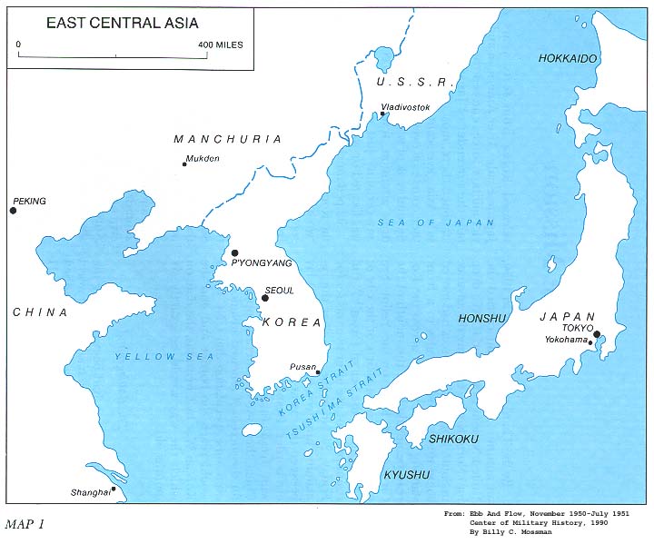 East Central Asia
 Korea
Korea
 The Battlefront, 23 November 1950
 Battle of the Ch’ongch’on, 25-28 November 1950
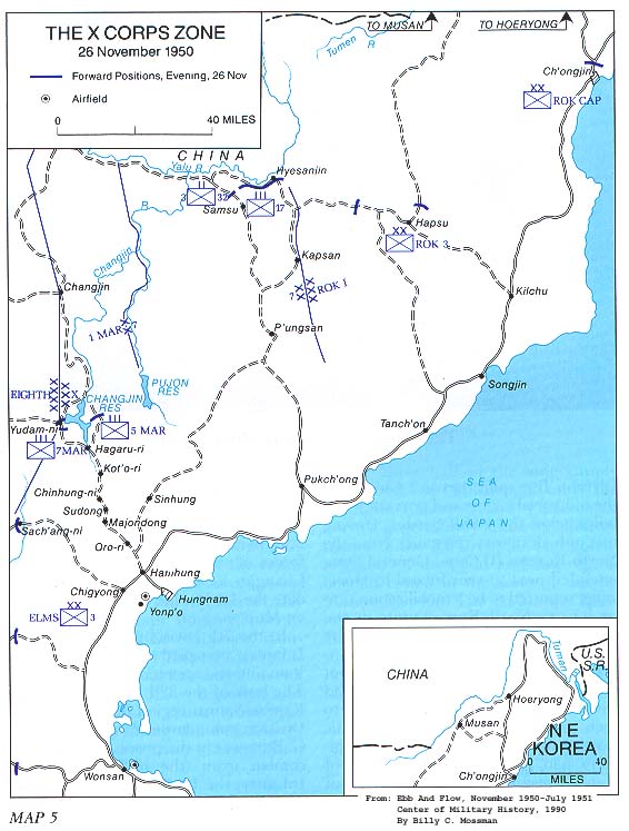 The X Corps Zone, 26 November 1950
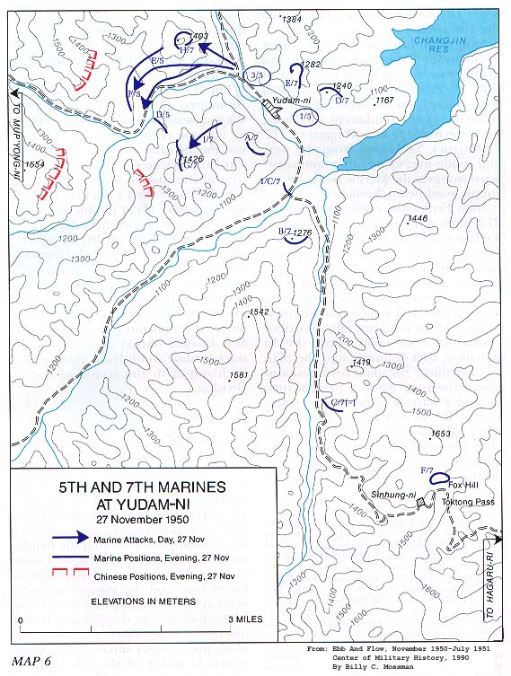 5th and 7th Marines at Yudam-ni, 27 November 1950
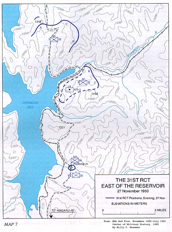 The 31st RCT East of the Reservoir, 27 November 1950
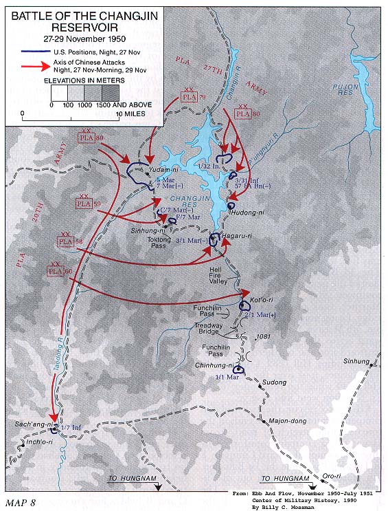 Battle of the Changjin Reservoir, 27-29 November 1950
Korean War Map Series
U.S Army Center of Military History
Scanned Courtesy of the Korean War Project http://www.koreanwar.org
Where is 40 degrees, 25″, 35′ N
127degrees, 16″, 22′ E
My uncle’s remains were found there during Operation Glory following Korean War. He was infantryman with Task Force Faith I Company, 3/31 and did not report with survivors on Dec. 3, 1950.
The field case binder given by Army to me states he was found in an isolated burial site. Back cranial missing.
Thank you very much for any insight. I am trying to determine where he was found so I can correlate to better date of death.
I’m trying to figure this out. I’ll let you know if I come up with something. The closest I’m getting is North Korea. There has to be a way to narrow it down to the exact location.
Looks like somewhere between Sinuiju and Packch’on. But I can’t find any more detailed maps.